Saturday, February 9, 2013

Ntwetwe Pan (9)


Along the west shore of Ntwetwe, which you reach from the Nata - Maun road, there are, elsewhere on this pan, numerous Stone Age sites.

Among them, in a hidden cleft, is a secret waterhole that seldom dries.
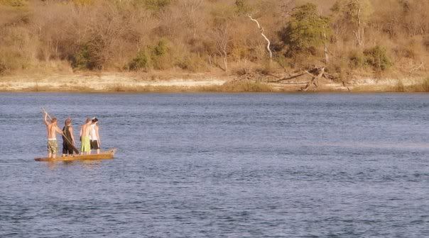
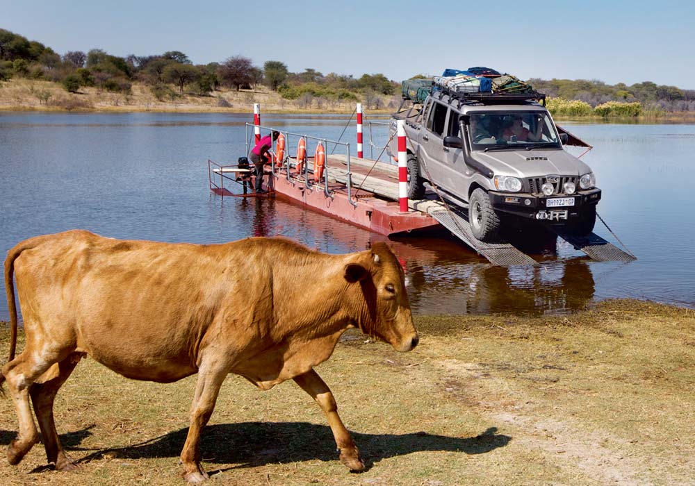
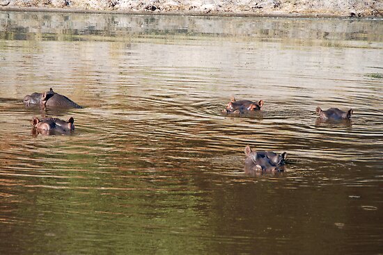
You'll find cattle at the waterhole, and sometimes game animals as well.


Around it are hunting blinds built of calcrete blocks, used by the San, who hid there to ambush game as it came down to drink.

Along the access route are stends of glorious aloes (Aloe littoralis) that bloom in winter and add a splash of colour to the landscape.

This whole region is one that can fill days with pleasure for those with a penchant for "beach walking", exploring and encountering the "non-game" wilderness at its pristine and unexploited best.


http://magicnamibia.blogspot.com
http://magicbotswana.blogspot.com
http://magicsouthafrica.blogspot.com
http://magicmadagascar.blogspot.com
http://magicmozambique.blogspot.com

http://magiadinamibia.blogspot.com
http://vagabondoinafrica.blogspot.com


Thursday, February 7, 2013

Ntwetwe Pan (8)


To the west of the south-north (Orapa- Gweta) track that crosses Ntwetwe Pan, and about midway between the opposing shores, is Gabasadi Island.


An unusually large barchan dune, it is bare of vegetation but you'll find it worth climbing to the (low) crest for the great view of Ntwetwe that it yields, especially in early or late light.

Here, if you look carefully, you will find pottery shards and Late Stone Age tools.


http://magicnamibia.blogspot.com
http://magicbotswana.blogspot.com
http://magicsouthafrica.blogspot.com
http://magicmadagascar.blogspot.com
http://magicmozambique.blogspot.com

http://magiadinamibia.blogspot.com
http://vagabondoinafrica.blogspot.com


Friday, January 25, 2013

Ntwetwe Pan (7)


The pan surface is hard and unyelding and very much safer than elsewhere on Makgadikgadi.
A good map is essential.
With its help, and if you sit on the roof of your vehicle for a good view, the experience is very much like sailing a galleon of old Through unknown seas, with islands beckoning from all around.
It's an exhilarating experience.


Careful navigation will lead you to a waterhole known as Mgobe wa Takhu, in the northwest of the area, wich contains water for much of the year.

To the north of the waterhole you'll find a little-known track (an old cut-line) that will deliver you to a group of palm trees known as Makolwane a ga Wateka, 10,6 km east of Njuca Hills.


http://magicnamibia.blogspot.com
http://magicbotswana.blogspot.com
http://magicsouthafrica.blogspot.com
http://magicmadagascar.blogspot.com
http://magicmozambique.blogspot.com

http://magiadinamibia.blogspot.com
http://vagabondoinafrica.blogspot.com


Thursday, January 24, 2013

Ntwetwe Pan (6)


Evidently, there was a wetter period, the lake flooded again and the dunes were trapped caught far out in the replenished lake.

The climate continued to change and the level of the lake fell once more, but incrementally this time, almost as if the water was struggling against the elemental forces that wished to banish it forever.


Many of the island profiles show distinct descending steps and lines of vegetation, revealing clearly where the fall in lake levels was arrested long enough to leave permanent evidence in the shape of ancient shorelines.

To drive through this area is a unique experience.


http://magicnamibia.blogpost.com
http://magicbotswana.blogpost.com
http://magicsouthafrica.blogspot.com
http://magicmadagascar.blogspot.com
http://magicmozambique.blogpost.com

http://magiadinamibia.blogpost.com
http://vagabondoinafrica.blogpost.com


Wednesday, January 23, 2013

Ntwetwe Pan (5)


Far to the west of the north-south road is what it is called the "land of a thousand islands".

Reflecting a chaotic climatic past, these numerous "islands" are in fact sand dunes stranded on the surface of the ancient lake bed, and they are one of the most fascinating features of the Botswana wilderness.


They are evidence of much more arid times, when the lake temporarily dried, and barchan (crescent-shaped shifting) dunes, steep and concave on their leeward sides, convex on their windward sides, began to advance across its baked and bare surface.

* Horseshoe-shaped dunes are known as barchan dunes.
* Linear dunes in semi-parallel lines (best seen in Botswana's west and southwest) are referred to as alab dunes.


http://magicnamibia.blogspot.com
http://magicbotswana.blogspot.com
http://magicsouthafrica.blogspot.com
http://magicmadagascar.blogspot.com
http://magicmozambique.blogspot.com

http://magiadinamibia.blogspot.com
http://vagabondoinafrica.blogspot.com


Tuesday, January 22, 2013

Ntwetwe Pan (4)


When full, the pan is particularly beautiful with its waving palm trees and its bird life.
Even when it's dry, there's a lot to see: Stone Age artefacts abound and the hunting blinds (used initially by San to ambush their quarry) are still visible.


Look for an especially well-preserved one under a tree on the west side.
An equally famous, though less visited tree, Chapman's Baobab, lies to the southeast of Green's Baobab.
This tree is visible from a great distance across the pan and is worth seeing if only for its size and photogenic qualities (the colossal, six-stemmed specimen measures 24,8 m in girth at about 1,5 m above ground level).


It was certainly a landmark for early explorers of the region, and a casual examination will reveal the initials of James Chapman, members of the ill-fated Helmore-Price expedition and other well-known explorers.

The cavity between the main trunks is reported to have been used as a post box by travellers from both north and south.


http://magicnamibia.blogspot.com
http://magicbotswana.blogspot.com
http://magicsouthafrica.blogspot.com
http://magicmadagascar.blogspot.com
http://magicmozambique.blogspot.com

http://magiadinamibia.blogspot.com
http://vagabondoinafrica.blogspot.com


Saturday, January 19, 2013

Ntwetwe Pan (3)


The initials of H van Zyl, the notorious explorer, hunter and murderer, are among those to be found on the tree.
You will also see those of P Viljoen, son of Jan Viljoen, a well known hunter and trader an an early visitor to Lake Ngami (getting there about 18 months after Livingstone).


He was accused by a missionary of "buying several African boys".

Within 300 metres of the tree, to its southwest, you will find Gutsa Pan, which is mostly dry now but does hold water for some months after rain.
Over 100 years ago there were reports of hippo in the area.
More amazingly, I know for certain that it has hosted hippo within the past twenty years.

The mystery is: where do they come from ?
The Boteti River is 75 km away !


http://magicnamibia.blogpost.com
http://magicbotswana.blogpost.com
http://magicsouthafrica.blogpost.com
http://magicmadagascar.blogspot.com
http://magicmozambique.blogpost.com

http://magiadinamibia.blogpost.com
http://vagabondoinafrica.blogpost.com


Friday, January 18, 2013

Ntwetwe Pan (2)


The north-south track links Orapa Mine with the village of Gweta.
It is highly probable that this was the track that David Livingstone travelled on his journeys to Linyanti and the Caprivi.
By means of it, one can visit two famous baobab trees.


The first, known as Green's Baobab, lies immediately beside the route and is scarred with initials from a century or more ago, those of trader and explorer Frederick Joseph Green.

Green had been hunting along the Boteti River as early as 1851, but in 1858/9, when his initials were carved into the bark of the tree, he and his brother were exploring the vicinity of Makgadikgadi while on their way to western Matabeleland.


http://magicnamibia.blogspot.com
http://magicbotswana.blogspot.com
http://magicsouthafrica.blogspot.com
http://magicmadagascar.blogspot.com
http://magicmozambique.blogspot.com

http://magiadinamibia.blogspot.com
http://vagabondoinafrica.blogspot.com


Thursday, January 17, 2013

Ntwetwe Pan (1)


This enormous, fascinating area, the twin in many ways of its easterly neighbour, Sowa Pan, has been receiving more and more attention from independent visitors, for it is a gloriously free and open part of the country, and almost completely unspoilt.


The region is full of places of interest and I encourage you to explore it.

Innumerable ways lead to the area, and it would be impractical to try and list them all - apart from the fact that this would spoil the fun for intrepid explorers !


http://magicnamibia.blogpost.com
http://magicbotswana.blogpost.com
http://magicsouthafrica.blogspot.com
http://magicmadagascar.blogspot.com
http://magicmozambique.blogspot.com

http://magiadinamibia.blogpost.com
http://vagabondoinafrica.blogpost.com


Tuesday, January 15, 2013

Makgadikgadi Pans, the Boteti River (7)


At a point about 36 km north of the turnoff to Khumaga, the Boteti River cuts its way through the Gidikwe Sand Ridge.

There is fascinating scenery to enjoy here.


When the river is full, there are beautiful lagoons around this area, and massive cliffs of calcrete plunge vertically for more than 35 m into the river.
Near the spot, there are plenty of viewpoints and shady trees for a picnic.

You can usually find your way up or down the river on the north bank sufficiently far for reasonable privacy.
The area is little known, off the road and offers magical camping spots.


http://magicnamibia.blogspot.com
http://magicbotswana.blogspot.com
http://magicsouthafrica.blogspot.com
http://magicmadagascar.blogspot.com
http://magicmozambique.blogspot.com

http://magiadinamibia.blogspot.com
http://vagabondoinafrica.blogspot.com


Monday, January 14, 2013

Makgadikgadi Pans, the Boteti River (6)


The Makgadikgadi section of the Makgadikgadi - Nxai Pan National Park is now separated from tribal land by a electrified game fence that criss-crosses the Boteti, giving both cattle owners and wildlife access to its waters (when there is any).

You cannot, any more, drive up the east bank of the river.


At Khumaga (although they no longer encourage casual visitors and you have to book) you'll find Leroo-la-Tau Safari Lodge.
Located on the north bank of the river, at the bend, it offers both the advantages of a riverine environment - complete with perennial pools stocked with hippo and crocodile, giant trees, dense vegetation, superb birding -and, to the east, the rolling grasslands of Makgadikgadi.


http://magicnamibia.blogspot.com
http://magicbotswana.blogspot.com
http://magicsouthafrica.blogspot.com
http://magicmadagascar.blogspot.com
http://magicmozambique.blogspot.com

http://magiadinamibia.blogspot.com
http://vagabondoinafrica.blogspot.com


Sunday, January 13, 2013

Makgadikgadi Pans, the Boteti River (5)


After passing Rakops on your way north, take the opportunity to turn east anywhere for a kilometre or two and explore the banks of the Boteti.

Wet or dry, it is an extraordinary place.

Drive over a few hundred metres of short grass to the edge of the tree line.


A fringe of giant but dead Acacia erioloba (drought-dead due to a falling water table as the Boteti dried) brings you to the edge of the riverine forest.
It is followed by more trees and shrubs and then the river itself; park and walk this last short bit.
Whether it is wet or dry (it was a full river in 2010, but fell short of Rakops by some 15 km), it is a remarkable sight.


More remarkable still is that on the brief trip from the tar to the river bank, you cross first the old calcrete road, and then, just before the river you will cross a very narrow but deeply entrenched track.
Maybe this is the remains of the original, historical track along the Boteti, a track used by Livingstone and all those who followed him.


http://magicnamibia.blogspot.com
http://magicbotswana.blogspot.com
http://magicsouthafrica.blogspot.com
http://magicmadagascar.blogspot.com
http://magicmozambique.blogspot.com

http://magiadinamibia.blogspot.com
http://vagabondoinafrica.blogspot.com


Saturday, January 12, 2013

Makgadikgadi Pans, the Boteti River (4)


The course of the Boteti is traced out with a dark green ribbon of riverine trees while, in the distance, the waters of the old lake still seem to shimmer and dance in the heat.

It is incredible to think how changeable land forms really are and how insignificant a human life span is against the immensity of geological time.


Even if you do not explore the road to the CKGR, cast your eyes west as you drive towards Maun after the Department of Wildlife and National Parks turn off.

You will look out over a billiard -table-level plain that stretches to an elongated smudge of green on the horizon.

The smudge is the Gidikwe Ridge, the old shoreline: it helps you imagine the vastness of the former lake.


http://magicnamibia.blogspot.com
http://magicbotswana.blogspot.com
http://magicsouthafrica.blogspot.com
http://magicmadagascar.blogspot.com
http://magicmozambique.blogspot.com

http://magiadinamibia.blogspot.com


Friday, January 11, 2013

Makgadikgadi Pans, the Boteti River (3)


Three kilometres north of Rakops, on the west side, is the signposted turn-off leading 45 km to the Central Kalahari Game Reserve (CKGR) boundary and, beyond that, 8,8 km to Matswere Camp and permit office.

The CKGR access road is usually in very poor conditions.
If you were to take this track and drive 13 dusty and uncomfortable kilometres westwards, you would arrive at the top of an age old sand ridge.
This is an ancient shoreline, an offshore barrier beach of the old palaeo - lake.


The Gidiwke Ridge marks the lake's western margin when it was at its greatest extent.
Ascend to its summit and look back.
If you do this in the afternoon, so that the sun is behind you, a stunning view unfolds.
Even from this relatively low elevation, the whole of the old lake bed lies before you.


http://magicnamibia.blogspot.com
http://magicbotswana.blogspot.com
http://magicsouthafrica.blogspot.com
http://magicmadagascar.blogspot.com
http://magicmozambique.blogspot.com

http://magiadinamibia.blogspot.com


Thursday, January 10, 2013

Makgadikgadi Pans, the Boteti River (2)


On his two journeys to Lake Ngami, the 19th century missionary-explorer David Livingstone came this way with William Cotton Oswell.
They found the sand so heavy and the trees so thick that they abandoned most of their wagons and went on only lightly equipped.
It is perhaps as well to realise, while one drives through the country west of Makgadikgadi, that, for the whole way on your right (north or east) lies the Boteti River.


It's not always easy to recognize it as a river, but even in relatively recent times - early in the 20th century and certainly in the 19th - it flowed regularly here, and the southern end, between Xhumo and Mopipi, was a wetland full of birds and aquatic creatures.
It's hard to believe that now !


It is nearly 30 years since the Boteti has reached Mopipi, which has done only three times since 1963.
In fact, the large, dry pan (Mopipi) you see immediately to the south of the village was modified so that water could be pumped in from the Boteti, turning it into a huge reservoir.
From there, it was pumped the 50-add kilometres to Orapa Diamond Mine.


http://magicnamibia.blogspot.com
http://magicbotswana.blogspot.com
http://magicsouthafrica.blogspot.com
http://magicmadagascar.blogspot.com
http://magicmozambique.blogspot.com

http://magiadinamibia.blogspot.com


Tuesday, January 8, 2013

Makgadikgadi Pans, the Boteti River (1)


This may seem a strange inclusion, for the Boteti is a river that seldom has water in it - at least for its full lenght.

It is an overflow from the Okavango Delta and draws its water from the Thamalakane, which flows past Maun.

A low earthen embankment at the Boteti/Nhabe/Thamalakane junction was designed to divide the flow.

The Okavango's flood does not reach Maun until July or August, and it takes many more months for the water to make its way down the Boteti.

When the river is dry, as it mostly is these days, it offers wonderful opportunities for exploration.

There are beautiful acacia woodlands along its bank, cliffs of calcrete to investigate, birds in remarkable profusion and, for the photographer, innumerable attractive rural scenes.

Nearer to villages there's a maze of tracks leading everywhere; further out, you make your own.

Be cautioned, though: the sand can make for slow, heavy driving.


http://magicnamibia.blogspot.com
http://magicbotswana.blogspot.com
http://magicsouthafrica.blogspot.com
http://magicmadagascar.blogspot.com
http://magicmozambique.blogspot.com

http://magiadinamibia.blogspot.com